Working at an AI spatial intelligence startup changed the way I think about data and about intelligence itself.
Before Geolava, I had previously worked at a different company called Stoovo, my involvement was grounded in mapping. We were collecting real-time, crucial “last-meter” data at highly exact points, often through gig workers capturing signals from the physical world (ground-level) as they moved. The work was noticeable, operational, and deeply human-oriented, with people on the ground translating reality into data.
As my role began to expand into business development and market research, I began exploring the broader go-to-market landscape for geospatial technology. This was around 2024, at the peak height of the AI boom, especially with ChatGPT, when every industry was astonished and asking themselves how AI might reshape it. In geospatial, a new term kept surfacing: GeoAI, the merging of geospatial data and artificial intelligence.
At the time, much of mapping and spatial analysis was still manual and labor-intensive. We were collecting massive volumes of metadata, but interpreting it required time, high expertise, and patience. Most research relied heavily on historical records and two-dimensional representations of points, layers, and overlays on a map; flat map elements stacked on top of each other. Understanding what was actually happening in space, how patterns evolved over time, or what might happen next often took weeks or months of human reasoning.
The data was large and overcrowded, but insight and understanding lagged behind.
That’s when perspective began to shift, or in the spatial context. I realized that the challenge wasn’t data collection, it was reasoning about space. Traditional geospatial systems could show where things were, but they struggled to understand relationships, dynamics, and change. Space was visualized, but not truly understood.
This is where AI entered, not as automation, but as a new way of thinking and apprehension - reasoning.
When geospatial data and AI began to converge, something fundamental changed. Space and reasoning were no longer separate. Patterns could be learned, relationships studied, and predictions made at a scale and speed that wasn’t possible before. What once required lengthened manual analysis could now begin to emerge dynamically from the data itself.
That convergence of space and reasoning is what we now call spatial intelligence.
Today’s AI is powerful with words, but weak with worlds.
Large language models are strong and fluent, but ungrounded. As Dr. Fei-Fei Li (a Chinese-born American computer scientist who advanced ImageNet in Computer Vision) describes, they manipulate symbols fluently and reason within linguistic frameworks built on prior knowledge. They can describe the context with exceptional refinement, yet they lack real true physical understanding. But they do not genuinely perceive, interact with, or reason about the world across space and time.
This helps explain why AI-generated videos, while increasingly realistic, often lose consistency and rationality after a few seconds, or why robots struggle to achieve the moment they leave controlled environments. These systems can talk about the world, but they don’t yet understand themselves as a continuous, connected, physical reality.
The philosopher Ludwig Wittgenstein (Austrian-British philosopher in logic, mathematics, mind, and language) once wrote, “The limits of my language mean the limits of my world.”
For today’s AI, this feels especially true. When intelligence is confined primarily to language, its understanding of the world is constrained by symbols alone.
Spatial intelligence is the next frontier beyond language, unlocking an entirely new dimension for AI to understand and interact with the physical world.
This is not new to us humans; it is the primary foot of human cognition itself. Long before we speak, we learn through movement, space, and interaction. We think, reason, imagine, and make decisions through patterns, spatially recognized relationships, and lived experience, not language alone.
Spatial intelligence involves understanding geometry, relationships between objects, and dynamics over time, but most importantly, it enables prediction: an innate sense of what is likely to happen next when something happens or changes. That predictive mind is what allows humans to reason and act effectively in the physical world.
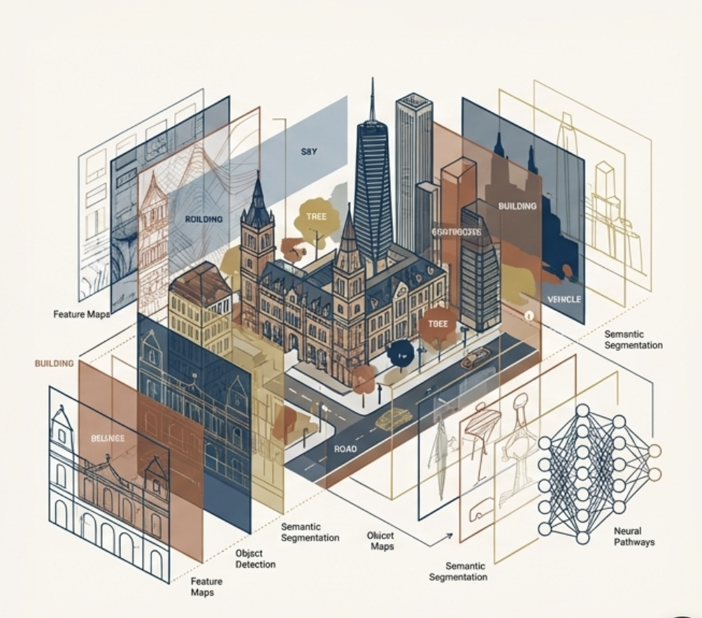
As Dr. Fei-Fei Li emphasizes, this goes far beyond classification, captioning, or, in today’s current LLMs, token-level prediction. Those approaches largely operate in one- or two- dimensional representations. Spatial intelligence extends into three dimensions and, critically, into four at the pixel- and sensor-level perception, when space, time, memory, and continuity are included.
If language models taught machines to reason with symbols and patterns, spatial intelligence may be what allows them to reason with the world itself.
So the question I’m left with is:
If language models helped machines reason with symbols, where will spatial intelligence take us once machines can reason with the world itself?
This is where the next phase begins, beyond words to shaping worlds.
Recommended Books & References
- The Worlds I See (2023) by Dr. Fei-Fei Li, book
- With spatial intelligence, AI will understand the real world
Hantz Févry of Geolava: 5 Questions (Commercial Observer)
Commercial Observer’s Q&A gives a founder-level view of why Geolava exists and what “spatial intelligence” looks like in practice. It discusses the shift from reactive, manual surveying toward a more predictive, continuously updated property intelligence layer. The interview also describes the role of high-resolution imagery and contextual signals like zoning and local conditions in building a complete property picture. If you want a simple narrative you can share with prospects who ask “what’s the wedge?” this is one of the clearest explanations. It’s also a good introduction to the longer-term ambition: monitoring assets over time, not just at transaction moments.
2 min read
Hantz Févry of Geolava: 5 Questions (Commercial Observer)
1 min read
Startup offers AI-Driven access to commercial property details at scale
This GlobeSt feature focuses on the gap between how important buildings are and how “offline” property intelligence still is in day-to-day work. It describes Geolava’s approach as building a “digital mosaic” of a property using multiple data sources rather than relying on a single snapshot. The piece calls out how different forms of imagery and sensing can surface issues and patterns that normally require time-consuming site work. The takeaway is less about replacing experts and more about keeping a consistent pulse on assets as conditions change. If your team cares about faster underwriting, tighter valuation support, and fewer blind spots, it’s worth a read.
1 min read
Startup offers AI-Driven access to commercial property details at scale


.png)
.jpg)